In part one of my interview with Holly Hacker of KFF Health News, we discussed how her project mapping flood risk came about, and why the analysis was necessary beyond the maps you can find through FEMA. In this second part, Hacker and I discuss how she and her team chose what to emphasize visually and verbally in their article, and how she hopes health journalists will use this analysis.
The animated visuals are really cool. How did those come together?
This was a challenging story, because you’re talking about buildings and the possibility of something. What happened was, I had the underlying Fathom data that I had mapped with the hospitals, with all this stuff in my GIS program. And then I gave Brett some of those files, which he then took in Google Studio and used some Google Earth images to show flood depths. Then we have someone on our social team, Hannah Norman, who then went in and put in all the captions. It was actually three different people across the newsroom. And, in this case, we partnered with CBS, so they ran a couple of pieces on TV and online showing these data animations. For television, we knew that they were going to want some movement and something dramatic. So, we didn’t have this plan when we started out; it came out through our brainstorming.
How do you hope people use these maps?
We’ve got this information, and we want to share it. For any hospital that we highlight in this analysis, you could ask them: “Are you aware of this?” “What have you done to prepare?” You can also download the list of hospitals. Because of our data use agreement with Fathom, we weren’t able to show every single hospital with its flood risk.
And you can still look at the FEMA flood maps. Two-thirds of the hospitals on our final list still had some overlap with FEMA data.
Any journalist working on a story that uses our analysis is welcome to talk to us. We are AHCJ members, so feel free to reach out to us. A journalist could also start by going to FEMA’s website. There’s a place where you can type in the address, and see their flood risk information. And again, one could talk to whoever studies flood risks in that region. As we were researching Charleston, for instance, the researchers doing risk assessments would list the buildings that they’re watching.
What should hospitals in these floodplains be doing?
Hopefully, the hospital is already aware of their flood risk. They would still need to do a local flood assessment. Fathom’s model is looking at the whole country. Then, they would want to check with whatever their building codes are locally and do a survey. Basically, the hospital would want to find out more, and hopefully they’re at least already aware of their risk.
Also, hospitals are required to have emergency plans — not just for floods, but also disease outbreaks and all sorts of terrible things that could happen. Hospitals don’t have to share those plans, but should at least have them. So, there should be a plan for how they would respond.
The thing is, most hospitals, among the ones that we identified, did not ever call us back or want to talk to us. We tended to get more response from hospitals that had already done something about it — surprise! If the hospital isn’t doing anything, then the local government emergency manager hopefully has some sort of plan in place.
Our analysis doesn’t encompass further questions as well. We were just focusing on the area near the hospitals. But what if there’s a major highway or access road a mile across town that cuts off a bunch of access, right? Or what if the doctors, nurses and staff are stranded and can’t get to work, or rescue teams can’t get in either. So, again, our list is an undercount. It gets bigger than just the hospital; for that whole community, what is the plan?
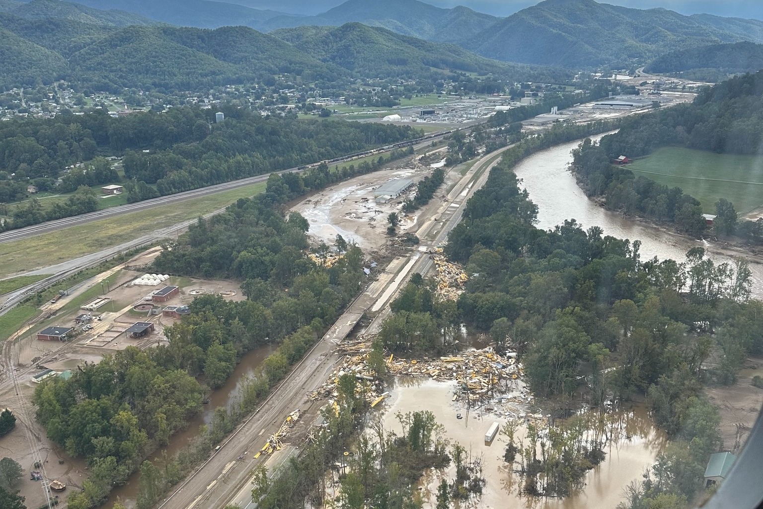
I also recommend looking at the risk for all the hospitals in the area. This is why Charleston, WV, stood out so much. If you’re in a place that has four hospitals, and one is at risk, you’ve still got 3 other hospitals. But what if it’s a critical access hospital? What if there’s nothing for 30 or more miles? We found that in some cases. Or what if, like Charleston, you’ve got most of your hospitals at risk? We found a couple places in Illinois where both the hospitals in town were on the list. And so that would be, I think, especially worth knowing if you’re in that community.
There’s been some other research out there, too. Harvard’s public health school published a study that focused on the risk coastal flooding would pose to hospitals. So, make sure to look at what the people with PhDs have published in peer-reviewed journals. As a reporter, you may not be able to do as extensive an analysis, but look at their data sources and what they did.
You’ve got the hospital angle or the building angle, but then also you’ve got the people who study hydrology, climatology, flood modeling or emergency planning. How can you cover all those bases?